
Shipwrecks on the Rhins of Galloway
February 18, 2025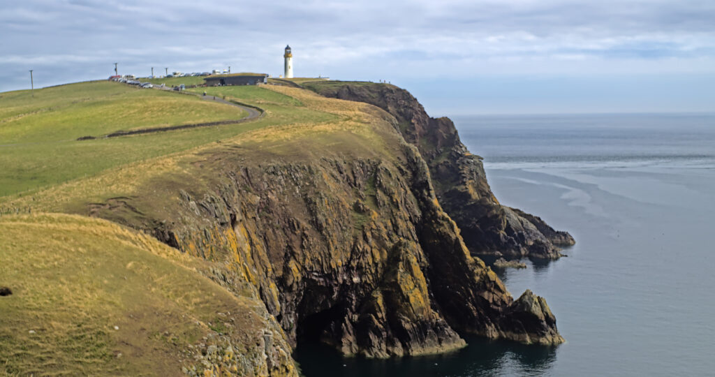
Because of feedback from people walking the route we have changed the maps both on the website and the GPX files for the route.
We rely on feedback from walkers and as a result of suggestions for improvement we have changed the maps both on the website and the GPX download files for the route.
We are still working on improving some sections of the path which have barriers to walkers that have to be navigated around. These include fences that will need to be climbed, burns and gullies that do not have bridges and some areas of thick vegetation. Up to now these have been marked on the website with warning signs to show that work is still needed to be done.
Feedback from walkers tells us that this was not clear enough so we have changed the way we show this on the map. The website now shows two different routes. The green line is the currently fully accessible route that can be walked right now with no obstructions. To do this there are diversions which follow alternative routes and minor roads in some places.
Please be assured that we have not abandoned the off road path following the coast that the Rhins of Galloway Coast Path is all about. These sections are now shown on the website in red to show that we are still working on them. These parts of the route can still be walked but please do be aware that they are a work in progress so there will be barriers such as fences that will need to be climbed over.
Along with the maps on the website we have also updated the GPX files. These now give you the fully accessible route using diversions around areas that we are still working on. There is also an alternative GPX file for the high water route north of Stranraer, so be sure to download the right file depending on what the state of the tide will be when you walk this section of the path. If you would like the GPX files for the work in progress sections please get in touch through the contact us page and we will send them to you.
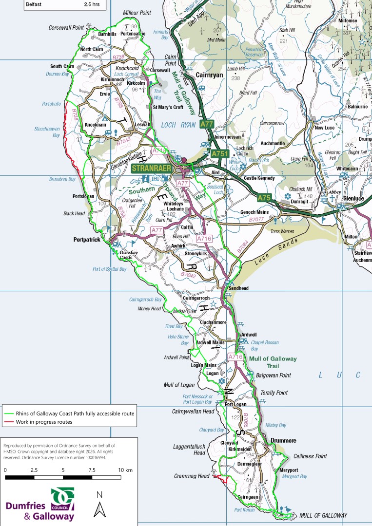
These maps will be updated as work is completed on the path and new areas become accessible.
If you come across any areas of the path that have issues not shown on the website please get in touch with us and let us know. With 85 miles of path on the Rhins of Galloway Coast Path, 214 miles on the Southern Upland Way, 55 miles on the Annandale Way and over a thousand more miles of core path across the region we cannot survey all of the paths that we look after as often as we would like. So if you see anything that needs attention on any of our paths, fallen trees, locked gates, missing waymark posts or anything else please do get in touch with us .The sooner we find out about problems the sooner we can deal with them.
We hope that these updated maps will allow you to enjoy your adventure along the Rhins of Galloway Coast Path.


