
Water of Minnoch
July 27, 2020
Caves of Kilhern
July 26, 2022
SHORT WALK
Dunskey Glen
A clifftop path with views over the Irish Sea leads to a sheltered cove with a sandy beach. Then a steep wooded glen with the sound of a fast flowing burn takes you back.
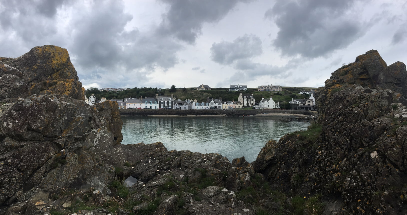
You begin this walk in the fishing village of Portpatrick. There is plenty of parking in the harbour which is the starting point of the Southern Upland Way. Both the way and this short walk begin by climbing steeply up onto the cliff. On a clear day you will have views across to Ireland and the scenery along here is fantastic. The path winds along the top of the cliff until it comes down to a cove where you will see a cave in the side of the cliff. This is the ouchtremachain Cave. Local legend says that people used to bring sick children to the cave. They would bathe them under the waterfall and make an offering of money on an alter inside the cave in the hope of curing them.
Around a small headland you come into another cove. This is Port Kale where the first telephone cable between Scotland and Ireland was laid. There is an interesting double octagonal building here that was used to store cables and equipment. If you stop and watch the water here for a while you may see Grey Seals taking advantage of the sheltered inlet.
You will then leave the Southern Upland Way which continues along the coast towards Killantringan Lighthouse. A footpath sign points inland along a track into a wooded glen and you should follow this. You will walk along this winding track under ancient oak trees with the sound of water always down a steep slope on your left. This is the Dunskey Glen and as you reach the top the woodland becomes clearer and you come out into farmland. Keep following the footpath signs which will take you back to the road at the top of Portpatrick.
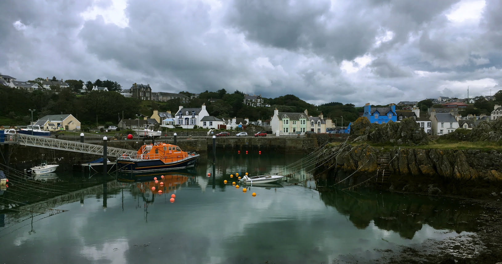
There is a pavement along the road all the way down through the village back to the harbour where you started. It is well worth exploring the harbour and village as it is full of interesting shops, history and has great places to get food and drink.


| Start | Portpatrick |
|---|---|
| Finish | Portpatrick |
| OS Explorer Maps | Explorer 309, Stranraer & the Rhins. |
| Distance | 6 km / 4 miles |
| Height Range | 0 - 70m |
| Total Ascent | 100m |
| Information Shelter | Portpatrick Harbour |
| Supplies | Good selection of shops, cafes and pubs in Portpatrick. |
| Public Transport | Busses from Stranraer stop in Portpatrick. |
| Cycling | The cliff path is narrow and has steep steps making cycling very difficult. |


