
Lowther Hill
July 27, 2022
SHORT WALK
Croft Head
Enjoy some dramatic landscapes as you climb up onto the very tops of the Moffat Hills. You will be rewarded for your efforts with spectacular views across Annandale.
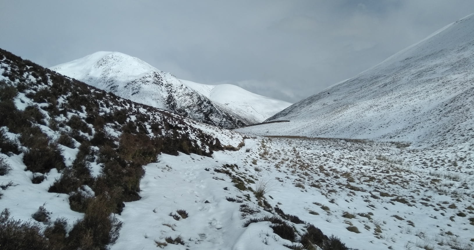
The start of this walk is on a small road just east of Moffat. Please take care when parking as forestry vehicles use this road. Follow the Southern Upland Way along the track through farmland until you get into forestry. Here the Southern Upland Way splits in two. You will turn left off the track and onto a small path to follow the high route. Soon the path starts to climb steeply. As you come out at the top of this first climb you get the first big view of the day back towards Moffat. You will be able to see across most of Annandale and large areas of the Southern Uplands.
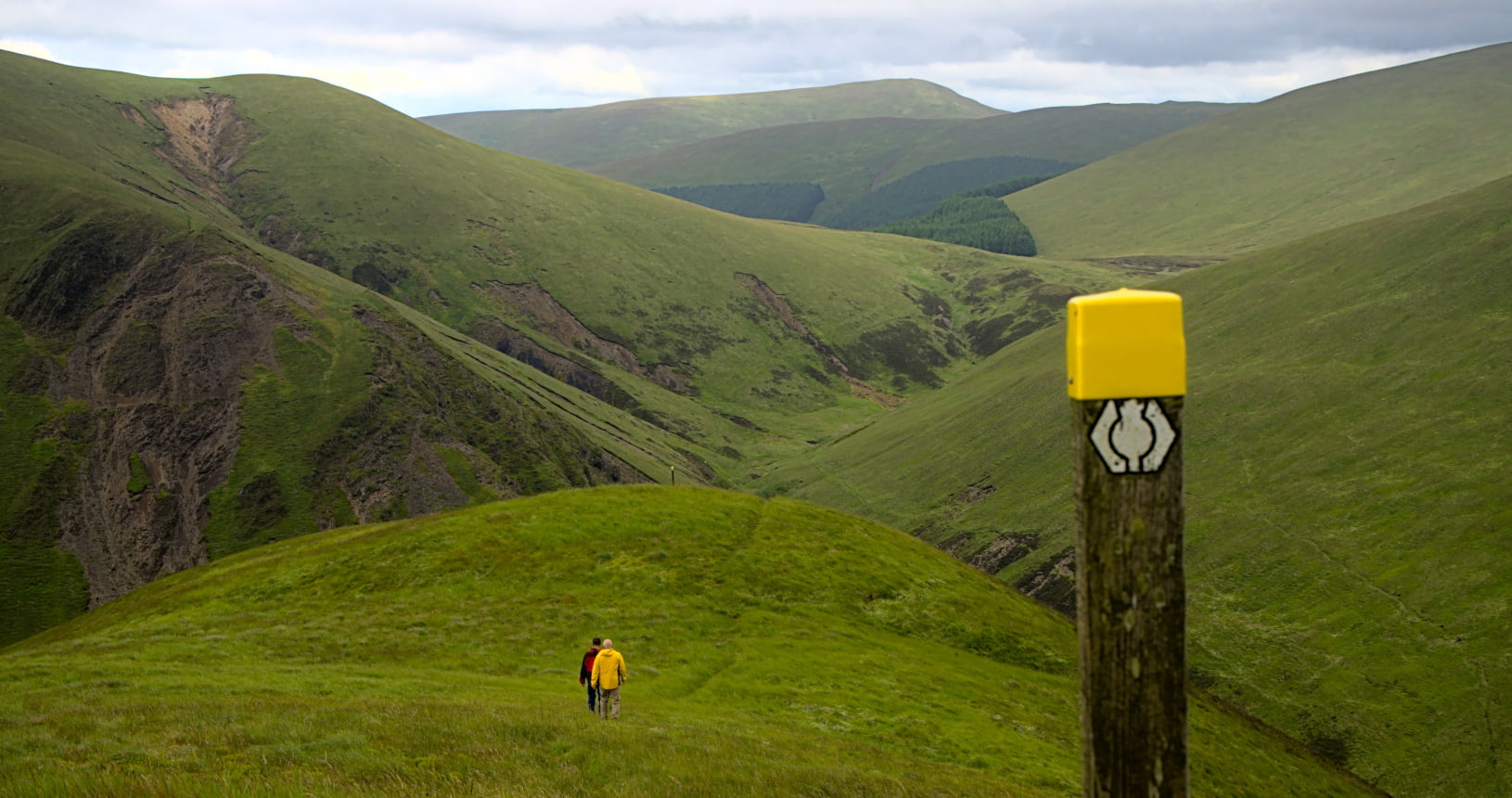
After a short way along a forest track you will go up out of the forestry and onto the moors. A steep climb brings you to Gateshaw Rig, then follow the ridge with more fantastic views all around you. Keep an eye out while you are walking along here for mountain hare. Unlike the more common brown hare these turn white in the winter so are only found in high up areas where there is snow cover for most of the winter. At the end you get to Croft Head and then descend Cat’s Shoulder. As you go down you can enjoy the view of Craigmichen Scar on the other side. There are sometimes peregrine to be seen here nesting on the cliffs. Be careful to keep an eye on your feet too as it is very steep and loose underfoot.
At the bottom you will meet up with the other route of the Southern Upland Way. If you turn left here you will head up towards Ettrick Head, the Scottish Borders and eventually the end of the Southern Upland way on the east coast. For this walk we will turn right and head back down towards Moffat. You will find yourself walking alongside a small burn, this is the Whamphry Water which you will follow until you get back to a forest track. At this point you turn right and follow the track back all the way to your starting point.

| Start / Finish | East of Moffat |
|---|---|
| OS Explorer Maps | Explorer 330 – Moffat & St Mary’s Loch |
| Distance | 15km / 9.5 miles |
| Total Ascent | 525 metres, 1700 feet |
| Supplies | Many shops and cafes in Moffat, none on route. |
| Public Transport | There are regular bus services to Moffat from Dumfries and Glasgow. |
| Cycling | The high route that you take on the way out is very steep and uneven so would be very difficult on a bike. |

