


East Option
Moffat to Lockerbie
Choose the East or West route
Here we cover the first leg of the east option.
If you'd rather head west via Lochmaben instead, see the Moffat to Lochmaben section.
Through forests and moorlands this sections winds through Annandale. It heads away from the river to get views over the area. This section is long so is often split into two with a detour to Johnstonebridge.
You will leave Moffat past the community nature reserve which is well worth the small detour if you have time. After a gentle wander through some fields you will come down to a road where you join two more of Scotlands Great Trails. The Southern Upland Way is an epic 214 mile route across the high wild parts of Southern Scotland. The Romans and Reivers Route on the other hand is shorter and accessible to horse riders and cyclists.
You will soon get to the village of Beattock and from here start to climb the Crooked Road. This appropriately named country lane winds steeply up into the hills. Looking back you get some amazing views of the Moffat Hills. When you get near the top you will leave the road and also the other two routes and head out over moorland. The path now winds through a high a remote landscape with fantastic views of the hills on all sides.
Once you get back down into the valley you pass close to the ruins of Lochwood Tower which is a couple of miles off the route. This was the main stronghold of Clan Johnstone, the border reivers who gave the Devils Beef Tub its name. The castle was burnt down by the rival Clan Maxwell in 1585 but it was rebuilt. A further attempt to take it by the Maxwells led to the Battle of Dryfe Sands, the site of which we will pass tomorrow.
For now, you will continue through more forest down to the site of the Eden Festival. When the festival is on you will have to follow the diversion up the road. For the rest of the year it is a nice route across a large grassy field grazed by sheep and with views across to Raehills mansion. This is where the Johnstones moved to when Lochwood Tower was finally abandoned. It is still the seat of the chief of the clan.
After crossing the A701 you will climb up through forest. From here you can see up and down the valley on a clear day. The river you see from here is the Kinnel Water which is a tributary of the Annan. Once you come out of the plantation the path meanders through farmland. You pass fields of sheep and cattle before getting to a quiet lane that runs alongside a large river. This is the Annan and it has now grown wide and slow flowing. Before long you will leave it again to dive back into woodland. This time it is the Scots Pine of Corncockle Wood. It is worth keeping your eyes open for red squirrel feeding on the cones.
As you leave the woodland the route splits in two. If you turn right, you will go through Lochmaben. Turning left will take us to the town of Lockerbie with many shops, pubs and cafes and then on a slightly easier route with nature reserves, farmland and historic ruins.
On the Lockerbie route you will now follow quiet roads until you meet up once again with the River Annan. After a short stretch along a small path beside the river you once again get to choose a route. You can go into Lockerbie and explore the town or to go through Eskrigg nature reserve and avoid the town centre.
If you turn right to avoid the town you will first head through the woodland of the Dryfeholm estate. As you go through the pleasant stretch of mixed broadleaf and conifer you come across the remains of Dryfeholm house. This old country house was used as a hospital in the first world war. It was demolished afterwards and now only the basements remain.
As you leave the woodland you walk along the Dryfe Water and pass the site of the battle of Dryfe Sands. Although now just some fields this was the last major battle between the border clans.
You will continue along quiet roads until you get to the Dryfesdale Lodge cemetery and visitor centre. This is a memorial to the 1988 Lockerbie Air Disaster and it is worth taking some time to look around and visit the garden of remembrance. You can now walk along the road to get to Lockerbie or cross over to continue along the Annandale Way.


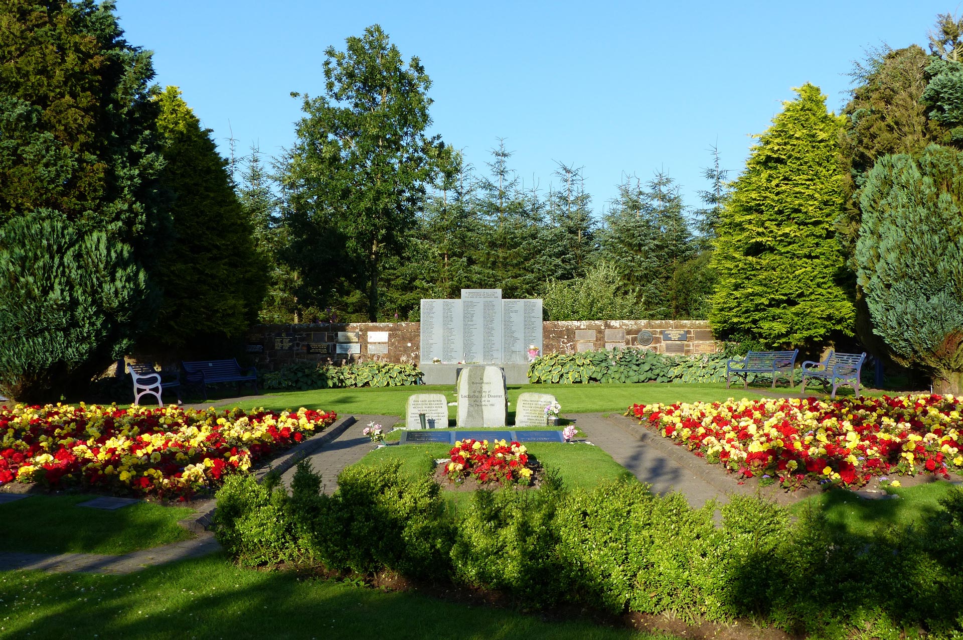
Dryfesdale Lodge cemetery and visitor centre
| Start | Moffat |
|---|---|
| Finish | Lockerbie |
| OS Explorer Maps | 330 Moffat & St Mary's Loch 322 Annandale |
| Distance | 31.5 kms / 19.5 miles |
| Height Range | 50 - 215m |
| Total Ascent | 250m |
| Supplies | A good selection of shops and cafes in both Moffat and Lockerbie. None on route. |
| Public Transport | A good bus service to Moffat and a good bus and train service to Lockerbie. |
| Cycling | The entire of the section is suitable for mountain bikes. |

