


Finish with
Hoddom to Newbiebarns
This section is all about the river. Now wide and calm you will hardly be out of sight of it for the whole day. Keep your eyes open for Kingfisher and Otter as you wander along the banks heading down towards the Solway and the end of your adventure.
You will start on Hoddom Bridge with scenic views up and down the river. If you are starting early watch out for the trail of bubbles in the water that shows there is an otter underneath. You will soon pass Hoddom Old Parish Church graveyard. The church is long gone but the graveyard has some amazing carved tombstones. You then wander along the banks of the river through farmland to the small village of Brydekirk.
From here the landscape changes and rather than the fields of crops and livestock you will be going through woodland and parkland. The river continues to grow, and you will often meet anglers on the bank. The many overhanging branches on this section are perfect for Kingfisher so keep your eyes open for that flash of blue.
Soon you get to the edge of the town of Annan. The hill on the opposite side of the river near to the park is the Mote of Annan, a 12th century motte and bailey castle, now an impressive earthwork. After crossing the road bridge the way continues down the river but if you are in need of refreshment there are many places here to get a good lunch. The town of Annan is the largest place that you have passed through since Moffat. You only have three miles left of your adventure so if you prefer you can carry on and leave exploring Annan for the evening.
From Annan to the Solway the river is tidal so watch out for wading birds on the mudflats. After going through the small village of Newby the path will take you out onto the flood bank. You get your first glimpse of the Solway as you wander down to Barnkirk Point. Here you look across the Bowness Wath, one of the ancient fording points of the mud flats. The Cumbrian coast is less than a mile away. The border reivers would cross here at the dead of night to raid English villages.
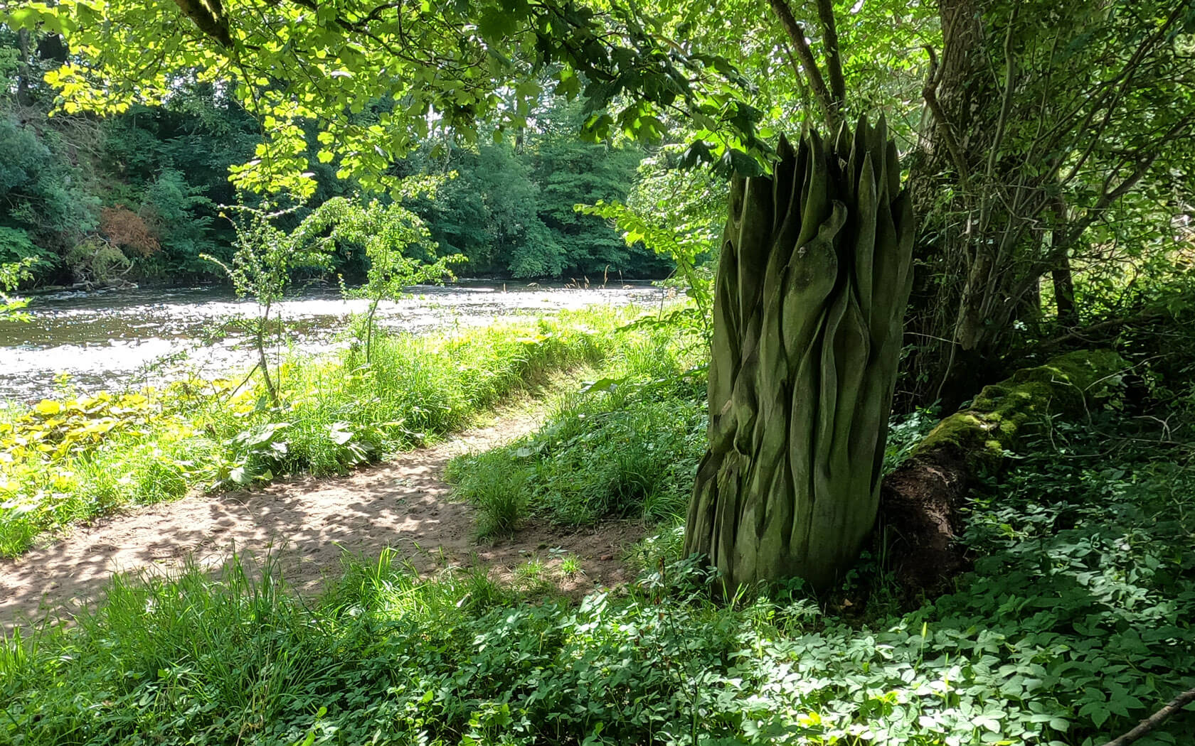
The final mile is a wander along the edge of the pebbly beach with the backdrop of the Lake District mountains. If the tide is out there will be waders exploring the mud and sand. Enjoy the dramatic view of Criffel across the Nith estuary until you reach the stone sculpture that marks the end of your adventure.


And wae betide ye, Annan water,
This night that ye are a drumlie river!
For over thee I'll build a bridge,
That ye never more true love may sever.
Andrew Lang
| Start | Hoddom Bridge |
|---|---|
| Finish | Newby Barns |
| OS Explorer Maps | 322 Annandale |
| Distance | 14 kms / 8.5 miles |
| Height Range | 0 – 33m |
| Total Ascent | 50m |
| Supplies | There is a good selection of shops and cafes in Annan. |
| Public Transport | There is a good train and bus service from Dumfries and Carlisle to Annan. |
| Cycling | The entire of this section is suitable for mountain bikes. |

