


#03
Bargrennan
to
St John’s Town of Dalry
This section is all about the rivers and lochs. It has some of the most scenic views on the Southern Upland Way. Or anywhere in Scotland for that matter.
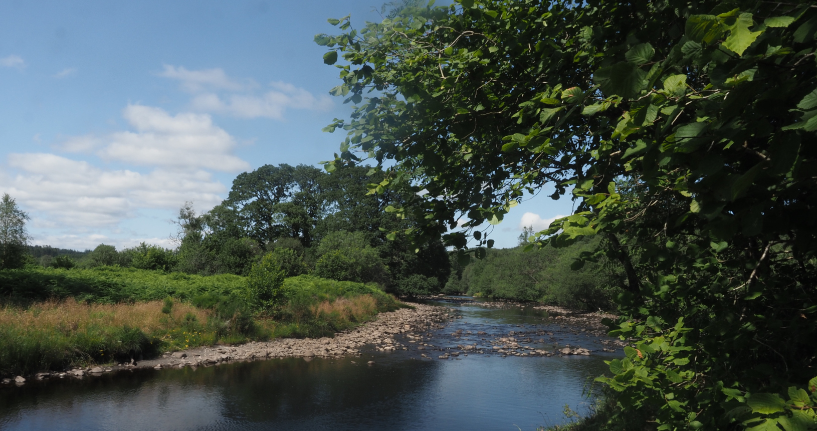
If you have stayed the night in the campsite or in Glentrool it is well worth retracing your steps to do the riverside section along the Water of Minnoch. The mixed woodland here is fantastic at any time of year but especially in the spring when you will be walking through a sea of Bluebells. As you come to the confluence with the Water of Trool you will start to see true mountainous landscape. We will be passing through this for the rest of the day, and climbing up it tomorrow.
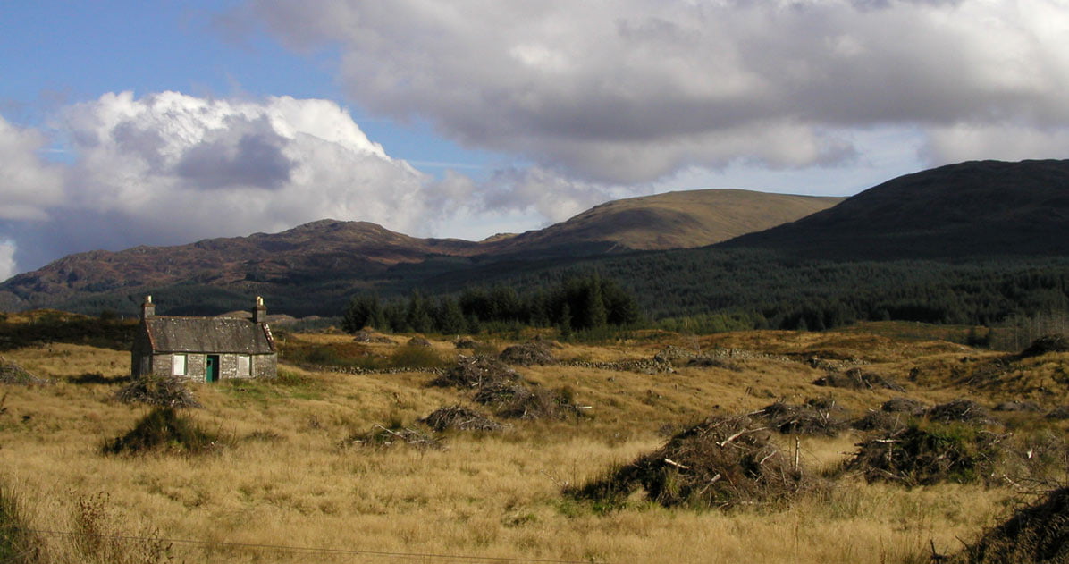
Nestled in a steep sided valley Loch Trool is surrounded by woodland. It was here that Robert the Bruce defeated an English army by rolling boulders down the hill on top of them. The trail then ascends steeply up to Loch Dee. In contrast to Loch Trool this is in open moorland with views of Merrick, the highest summit in Southern Scotland. The White Laggan Bothy here is a chance to split this very long section of path.
The third Loch of the day is Clatteringshaws, a reservoir surrounded by farmland. You will get great views of it after you have passed by and are climbing up the slope away from it. There is then a final short but steep climb over Waterside Hill from the top of which you will get views of St Johns Town of Dalry. This is a small village but still the largest place we have passed through since Portpatrick. It has two shops for stocking up on supplies and a pub to recuperate in.


In Glentruell a quhile he lay,
And went weill oft to hunt and play,
The Brus, Barbour 1376
| Start | Bargrennan |
|---|---|
| Finish | St John’s Town of Dalry |
| OS Explorer Maps | 318 Galloway Forest Park North 319 Galloway Forest Park South 320 Castle Douglas, Loch Ken and New Galloway |
| Distance | 42kms (26 miles). |
| Height Range | 45 – 320m, Highest point at Sheild Rig |
| Total Ascent | 550m |
| Information Shelter | In Bargrenan and Dalry |
| Leaflet Box | Craigenbay NX538793 |
| Supplies | There is a limited range of shops in Dalry. |
| Public Transport | There is a limited bus service at Bargrennan and Dalry. Vehicle support is available along this section. |
| Cycling | There are sections of steep steps and stiles that bikes will have to be carried or lifted over. Apart from these the section is suitable for mountain bikes. |

