
Doon Castle Reimagined
October 29, 2021
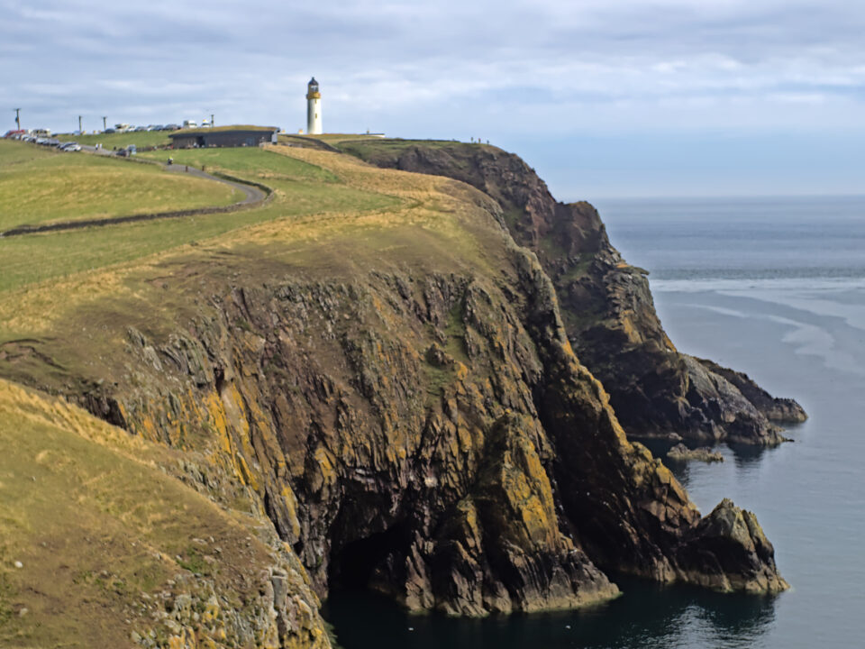
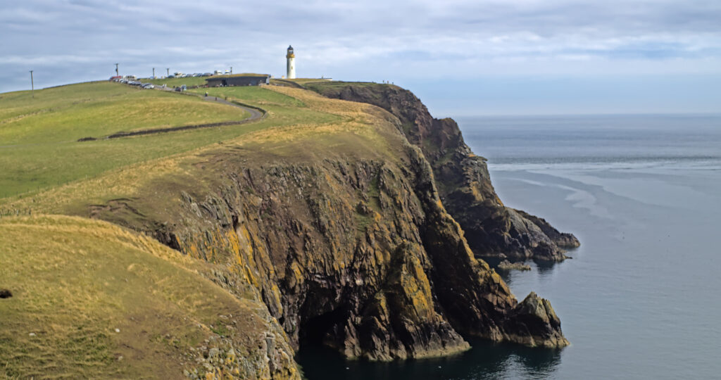
Keeping the Coast Clear
February 3, 2022
During Scottish Archaeology Month our good friends at AOC Archaeology and Solway Firth Partnership organised a series of online talks as part of the Rhins Revealed Online project.
The talks were recorded and are now available to all who missed them in September, or those who want to hear them again! Two talks will help your own archaeological investigations of the Rhins using online mapping resources and LiDAR technology. The third talk looked at the place-names of the Rhins and their origins.

Explore the Rhins Online
Mapping and Archaeology Resources
Join Charlotte Douglas of AOC Archaeology Group to find out more about the wide range of online mapping and heritage resources, and how to use them to explore the archaeology of the Rhins (and beyond!). Introducing websites including Canmore, PastMap and the National Library of Scotland’s map viewers, looking at the different tools and how to use them, and considering how to make the most of these fabulous resources.
Explore the Rhins Online
Mapping Archaeology with LiDAR
Graeme Cavers of AOC Archaeology Group reveals how LiDAR- aerial laser scanning- is revolutionising the way archaeological sites in the Rhins and further afield can be identified and interpreted. You can explore the Rhins LiDAR map and known archaeological sites using the map below, or on the ArcGIS website.
Explore the Rhins Online
Place-names of the Rhins
Join Eilidh Scammel of Ainmean-Aite na h-Alba (Gaelic place-names in Scotland) for a whistle stop tour of some of the place names of the Rhins, and the myths, legends and stories associated with them.
Managed by Solway Firth Partnership, our Rhins Coast partners, and produced by AOC Archaeology the talks form part of Rhins Revealed OnLine project, supported by Killgallioch Community Fund with funding from Scottish Power Renewables’ Killgallioch Windfarm and Dumfries and Galloway Council.

